Collaborative Image Annotation Tool for GIS
- Creative Fields Digital literacy, instruction and academics, Graphic design, photography and art, Website design and development
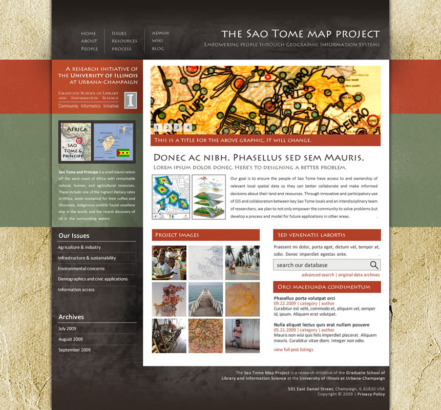
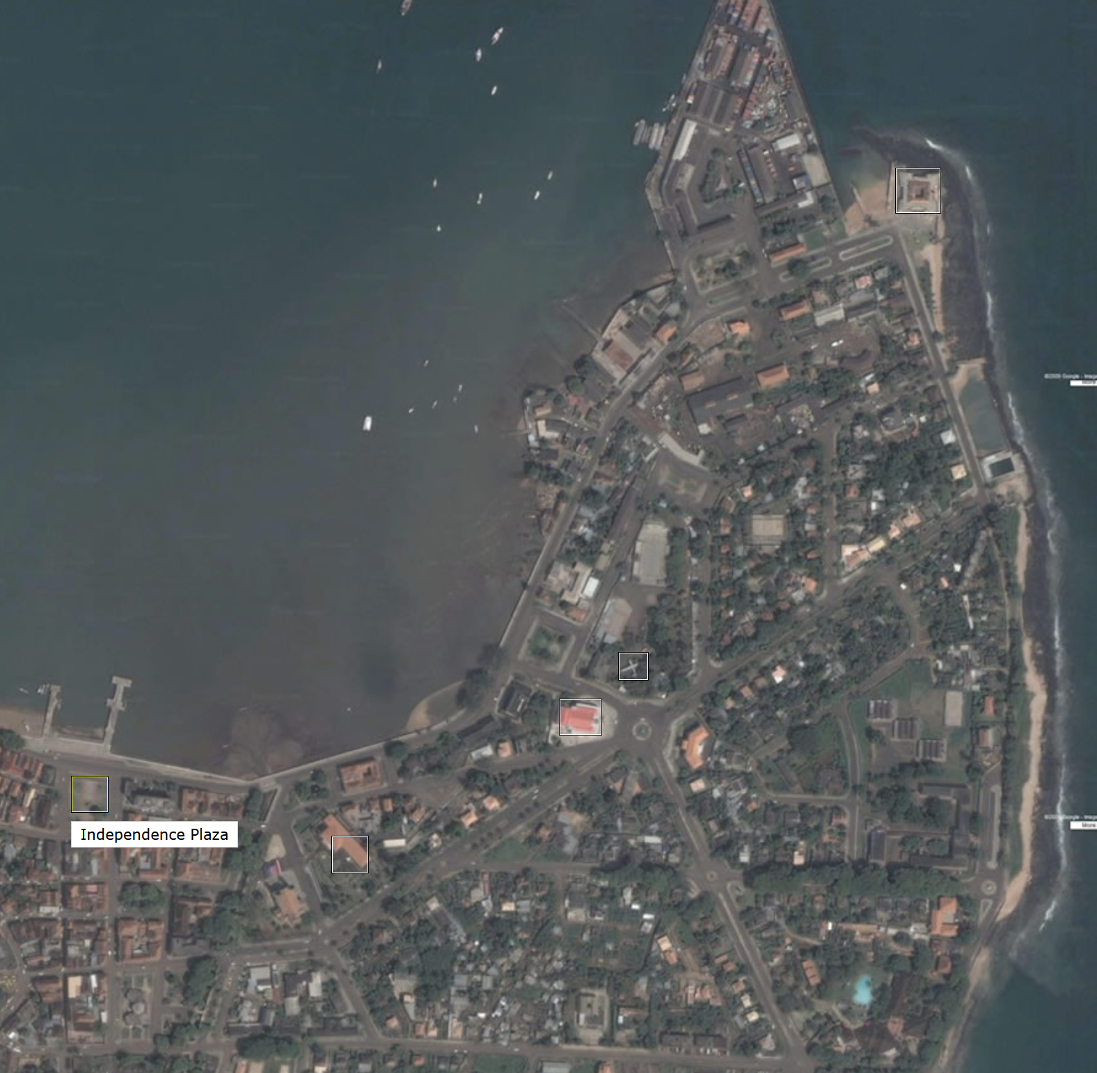
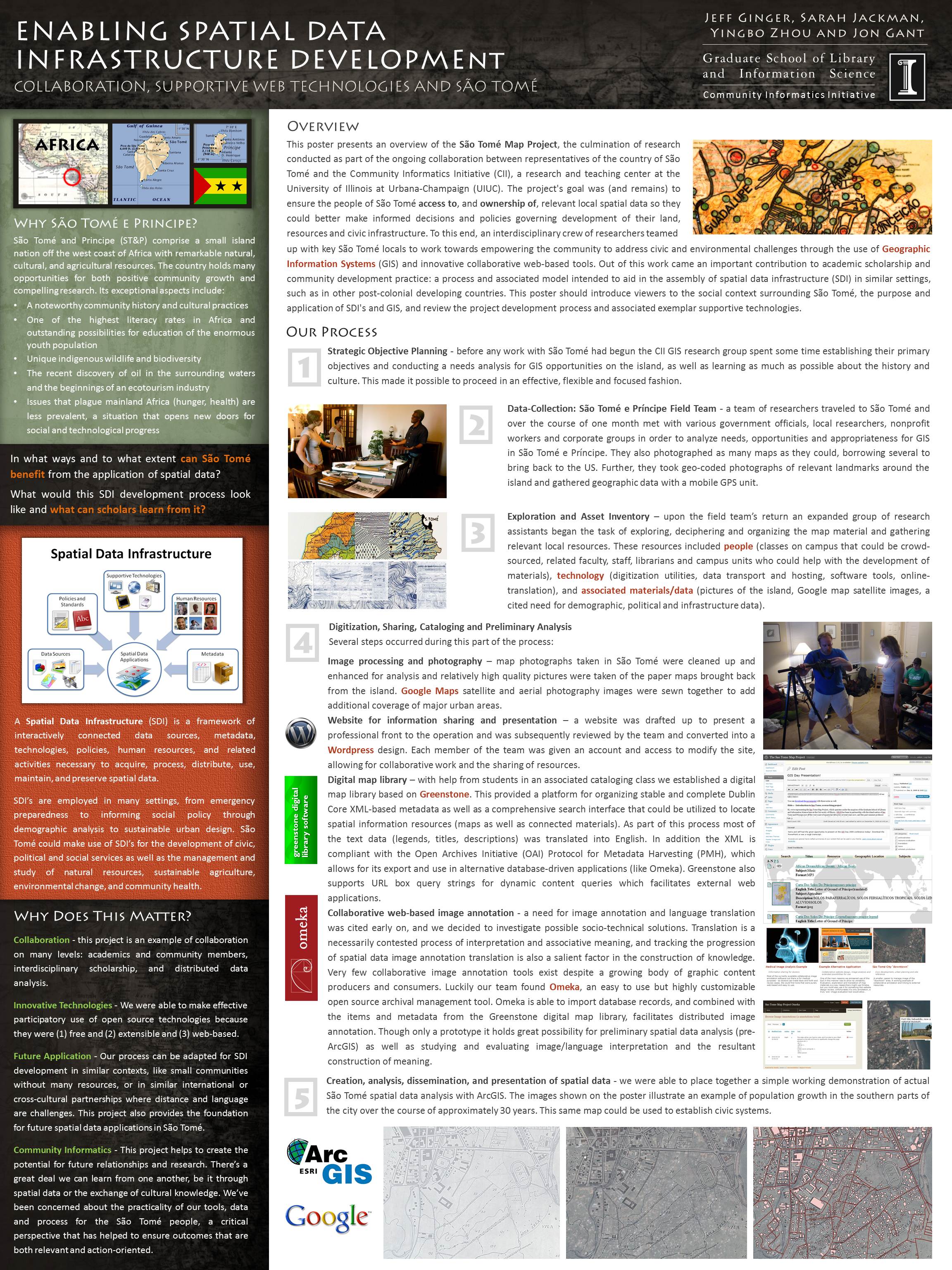
In 2009 the Graduate School of Library and Information Science sent a team of community informatics researchers to São Tomé to digitize maps and help the local government establish a Geographic Information System (GIS) platform, with the intention of putting it to use in applications related to governance and population studies. As part of this process teams located at UIUC and on the island had to communicate with one another to translate, evaluate and annotate map resources. I built a tool based on Omeka, an open source archival web app, that would aid researchers in these tasks. It also had potential for applications in medical image review or graphic asset analysis.
These kinds of image annotation software are very common-place now but at the time they were mostly proprietary and many were not online. The notion that anyone could edit records was fairly novel as well. The maps, while archived, were never used formally – back in 2009 power and internet infrastructure as well as computer literacy were not at a level that would make endeavors like this useful. The population and city was so small that notions like implementing an addressing system or zoning areas was deemed unnecessary. Still, it served as a proof of concept and was one of my first forays into web application mashups.


